Chowari Jot to Chamba trek
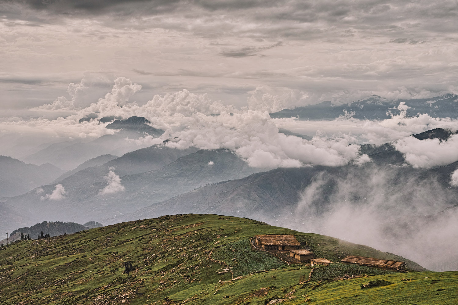
The day trek from Chowari Jot to Chamba is a moderately difficult and novel route, just under 19 kilometres long. This route follows a ridge along a series of saddles and peaks from Chowari Jot. It ends with a steep, two vertical kilometre descent over scree and rock-cut steps that left me with wobbly knees at the end of the trek.
Table Of Contents
Trek Detail
The starting point for this trek is the road linking Chowari with Chowari Jot. Fifty metres after the last shop at Chowari Jot (towards Chowari), a forest path bifurcates left from the metalled road and leads due east. This well-maintained, two kilometres long forest trail leads through a dense forest and it is interspersed with watering points.
The forest trail hugs the wooded southern side of the ridge. Two kilometres from the starting point leave the forest trail and scramble up a scree-covered slope to the top of the ridge. Follow this ridge due east till you rejoin a shepherd trail. This shepherd trail is narrower than the forest trail but well-marked. This shepherd trail leads through the dense south side forest. Half a kilometre later it emerges from the forest at the knoll covered with a pile of boulders. From the knoll, a wide trail follows the ridge to a shepherd shelter on a knoll. From the shepherd shelter, our route descends in a northerly direction towards Jatkari village. Be careful over this scree and mud descent, which can be quite slippery.
Jatkari is a large village with a school and a village shop. This village is also linked to Chamba via a jeep-able road. However, there is also a shorter route from the village that leads to Chamba. This shorter route from Jatkari village to Chamba starts from the village temple and the path is an extremely steep hour and a half descent over concrete and stone steps.
This route passes through a couple of villages along the way and the descent ends at the Bhadian village. From Bhadian village cross the Ravi River over a bridge at Chamera hydel project office at Karian. Karian is 5 kilometres from Chamba and busses leave for Chamba from Karian every 10 to 15 minutes.
Trek Summary
- Type - Day Trek. Moderate (3-season) to difficult (winter snow).
- Difficulty - Swiss Alpine Club (SAC) Scale - T2.
- Trek Duration - 6-7 hours.
- Trek Distance - 18.7 kilometres.
- Maximum Elevation - 2688 metres.
- Starting Point - Chowari Jot.
- Finishing Point - Bus stand, Karian (5 kilometres from Chamba on the Chamba-Bharmour route).
- Getting There - Buses ply regularly to Chowari Jot and Chamba. From Chamba bus stand the last HRTC (Himachal Roadways Transport Corporation) bus leaves for Chowari Jot at 1600 hours. Taxis can be rented from Chamba.
- Hotels and Stay - A small budget hotel is situated at Chowari Jot. A couple of restaurants sell simple home-cooked meals and a licensed wine shop sells Old Monk. HPTDC viewpoint shelters make excellent sheltered camping area. Chamba has hotels for every budget.
- Terrain - A moderate difficulty trek with a few steep climb and a long, almost 2-kilometre descent first over mud and then over rock and concrete steps.
- Weather - Pleasant during the day till from March to November, very cold at night.
- Caution - The long, hard descent from Jatkari village can take a toll on your knees. Walk fluidly without locking your knees and rest frequently along the way.
Essential Gear
- Two litres of water per person
- Trekking poles are a big help over steep descents
- Sunglasses and bandana for those sunny days
GPS Map, Waypoints & Log
Related
- This trek as an interactive map. Move your mouse pointer/finger over the elevation chart in the bottom right.


