Patnitop (J&K) to Chorgala trek
Chorgala and Shantigala are two lush green meadows and they are the best-kept secret on the Patnitop – Sanasar Road (J&K). Easily accessible via a short trek from Nathatop air force station, they make an ideal getaway for the entire family.
Table Of Contents
Trek Diary
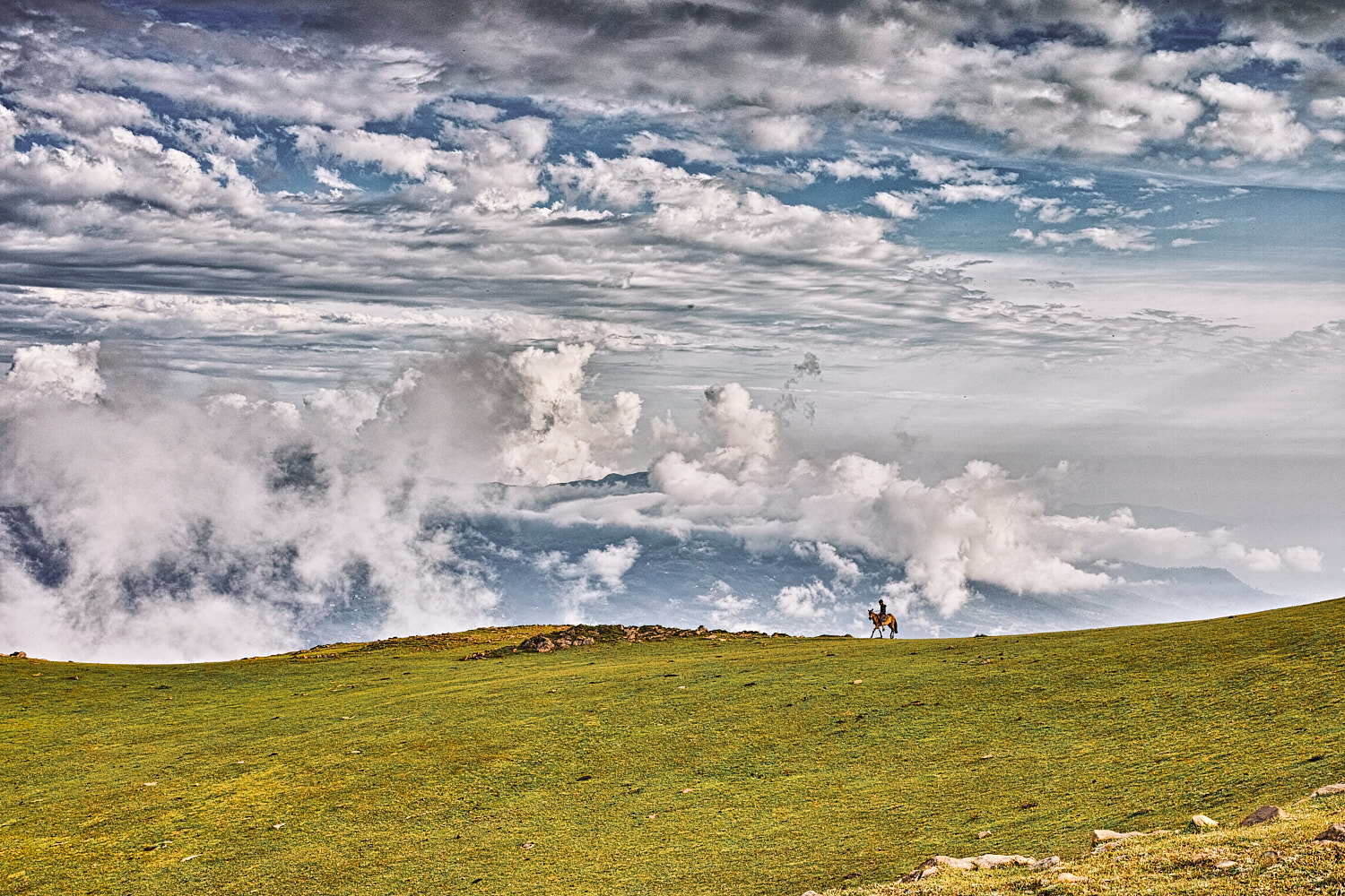
The grass swells up as a green sea juxtaposed against a cobalt blue sky.
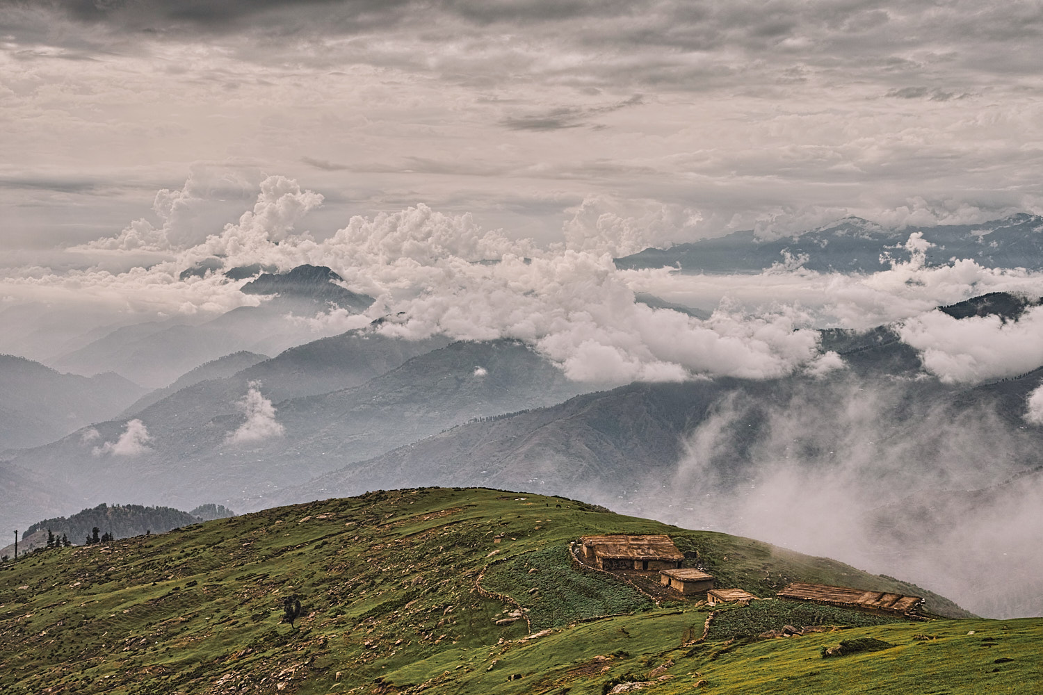
These meadows are spread over two square kilometres on a ridge with three well-defined humps. At 2681 meters, Chorgala is the highest point on this ridge and provides an enchanting view in all directions. Gazing north from Chorgala you can see the Lower Himalayas spread out in an undulating wave before climaxing in snow-clad peaks. To the Southwest, the Chenani – Mantalai Valley beckons with open arms. This is a perfect spot for a picnic with friends, children or that someone special. A bottle of sparkling wine is especially heady with such a vista. Chorgala makes an excellent trek for beginners and it is child friendly as well. The walking trail is wide and well defined, and the ascent is challenging yet not overpowering. You may experience a variety of terrains ranging from mud gullies to rocky ledges and soft grass. Cocooned in nature’s lap and civilisation (if needed) just a short walk away, is a rare luxury.

Trek Detail
Approach the trek from the road that leads to Nathatop air force station. Nathatop is midway between Patnitop and Sanasar. At Nathatop there is a well-defined bifurcation. From this bifurcation, take the uphill road that leads to the air force station. 1.2 kilometres along this road there is a sign to your left, that says “Restricted area ahead, trespassers will be prosecuted”. You can park your car or motorcycle on a grassy knoll to your left, just before this sign. The trail starts as a wide two-meter mud track from this grassy field. Follow the track as it meanders along the hill just below the air force station. Take some time to look at the valley on to your left - there are some great views to be had over the radar station and along a natural cleft in the hills. 2.4 kilometres from the starting point you shall see two electricity pylons downhill on your left. Leave the main trail at this point and follow the path as it descends towards these pylons along a burnt tree. The pylons are a good place to catch your breath and prepare for the oncoming 1.1-kilometre climb. At the second electricity pylon, you will see a gully striven ridge dead ahead. This ridge looks like it has been cleaved apart by some cataclysmic act of nature. Follow this east-west ridge till the mud gullies give way to boulders and rock. Keep walking along the ridge over these rocks and you shall arrive at the meadows. They stretch before you in a sea of green grass.
Trek Summary
- Type - Day Trek. Child-friendly.
- Difficulty - Swiss Alpine Club (SAC) Scale - T1.
- Hiking Time - 2 hours ascent, 1.5-hour descent.
- Hiking Distance - 4.1 kilometres one way.
- Start & Finish Point - Bifurcation that leads to Nathatop air force station, just a short distance from Patnitop-Sanasar Road.
- How to reach Patnitop - Bus/Taxi. A bus runs between Patnitop and Sanasar (twice daily). Taxi can be hired from Patnitop. The nearest train station is Udhampur.
- Hotels and Stay - Gujjar tharas at Chorgala. Hotels for every budget available at Patnitop and Sanasar.
- Weather - Windy and pleasant during the day. Usually very windy and cold (about 2 degrees Celsius) overnight in summers.
- Caution – The weather is fickle and may change suddenly, keep an eye out for storm clouds. Lightning can be dangerous because you are on an exposed ridge. Descend if there is a thunderstorm.
Essential Trekking Gear
- Two litres of water per person as there is no drinking water en route or at Chorgala.
- A windproof/waterproof jacket is recommended in case the weather turns inclement.
- Sunscreen and a visored cap/hat for a sunny day.
- Camera with panorama function / wide-angle lens. The 360-degree view from Chorgala is bewitching.
GPS Map, Waypoints & Log
Related
- Patnitop to Chorgala trek as an interactive map. Move your mouse pointer/finger over the elevation chart in the bottom right.
- More photos from Chorgala.