Jwala Devi Temple & Benog Hill Sanctuary trek
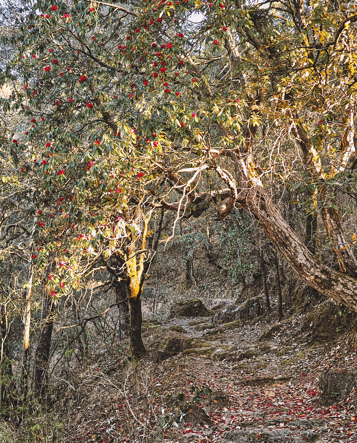
There’s always tranquillity to be found, even in the most crowded places if you’re willing to look for it. Benog Hill and Sanctuary are as far away from Mussoorie’s madding crowd and bad traffic as you can get. This is a quiet walk among age-old Buransh and Deodar trees. A place where fowl runs free and the only noise you will hear is the chirping of birds and monkeys.
Table Of Contents
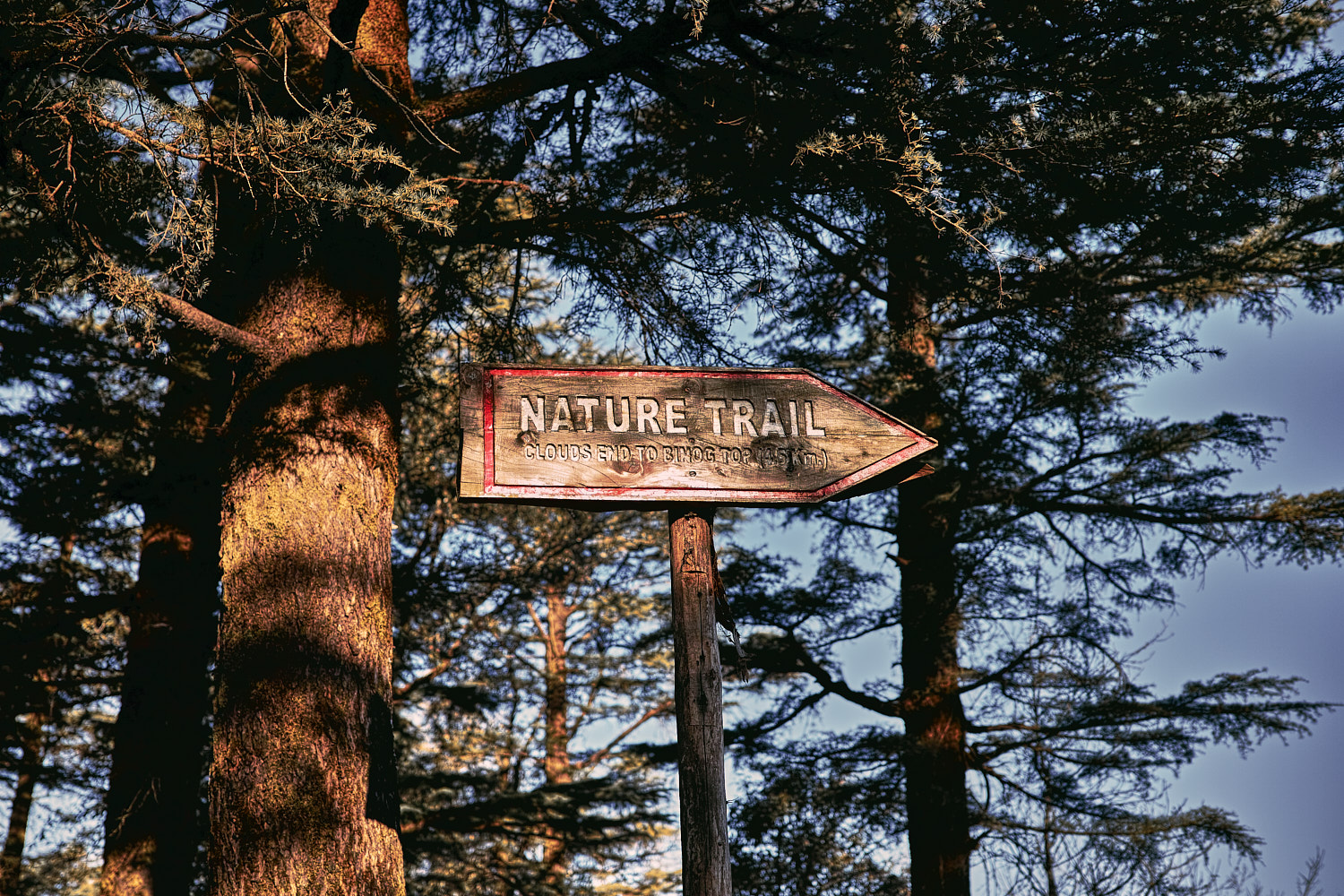
Benog Wildlife Sanctuary is accessible from the Library end of the Mall in Mussoorie. It is 6 kilometres away, 4 kilometres of which is a metalled road up to Hathipaon. The last two kilometres are an uphill cemented forest road. As you reach Clouds End, a forest signboard on the right side of the road marks the beginning of this forest trail.

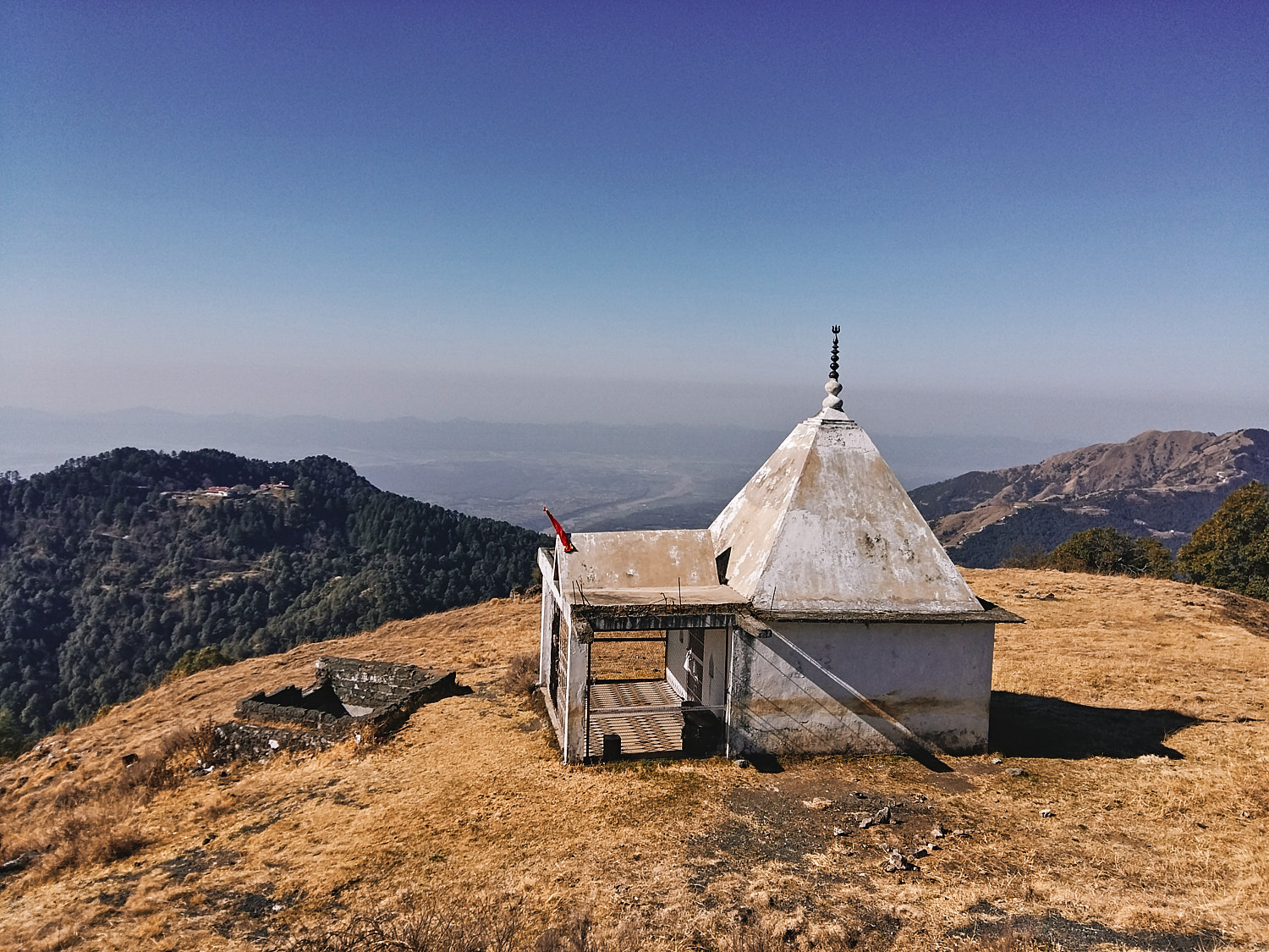
Nature’s Trail links the sanctuary gate to Benog Tibba. It is a 3.5 kilometre (one way) mule path trail through the sanctuary interspersed with some rain shelters/resting points. Benog Tibba (2257 metres) has the distinction of being the highest hilltop in Mussoorie and now there is a temple built on top locally referred to as Jwala Ji Temple.

Nature Trail is suitable for people of all ages. It is a must-visit if you are a bird watcher, tree lover, hiker or a photographer. I glimpsed a redstart, a flock of magpies and a couple of partridges on one of my early morning jaunts. I especially recommend this pristine, adventurous & easy nature trail for children. It is an easy walk that requires no special gear and there’s so much that they can learn about flora and fauna in addition to the marvellous view from Benog Tibba.
Benog Tibba has a small watchtower and the view from the tower is panoramic and awe-inspiring. On a clear evening, you can see the Doon valley lit up to your south while the Yamuna & Assan Barrage is visible to the West. To the North are the mighty Garhwal Himalayas and on your East Mussoorie town can be seen braided like a necklace along with the Camel’s hump.
A small temple dedicated to Jwala Devi, an incarnation of Goddess Durga stands at the peak. If you’re in the mood for a game you can locate hidden caches of Shiva idols close to the temple (P.S. you can find them in the GPS logs)
Trek Summary
- Type - Day Trek. Easy.
- Difficulty - Swiss Alpine Club (SAC) Scale - T1.
- Trek Duration - Two hours ascent and one and a half-hour descent. Total of 3.5 hours.
- Trek Distance - 3.4 kilometres one way.
- Maximum Elevation - 2257 metres.
- Average Grade - 4.7%
- Start and Finish - Benog Wildlife Sanctuary near Cloud’s End Mussoorie, Uttarakhand.
- Getting There - You can drive to Benog Wildlife Sanctuary. It is closer to the Library end of the Mall in Mussoorie. Taxis are available from the Mall. You do not need a guide for this trek as the trail is well marked and self-evident. There’s no entry fee for the Sanctuary.
- Weather - March and April is the best time to complete this day trek. This coincides with the Buransh bloom season.
- Mobile Connectivity - Mobile connectivity and data and is spotty along the trail however, it gets better as you approach Benog Tibba.
- Caution - Locals warn of leopard sightings at sunrise and sunset, though I didn’t encounter any signs.
Essential Gear
- A cap/hat for sunny days.
- 1 to 1.5 litre of water per person. There are no water points along the trail or at the top.